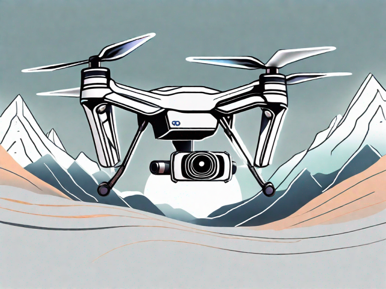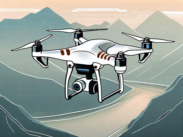
Surveying and mapping have become much easier with the use of drones. They not only save time but also provide more accurate data and models. However, not all drones are suitable for surveying and mapping purposes. In this article, we will discuss the best survey drones available in the market.
Key Takeaways:
- The DJI Mavic 3 Enterprise has a mechanical shutter, micro 4/3 sensor, and a flight time of up to 45 minutes.
- The DJI Matrice 300 with a Zenmuse P1 is the best setup, with a full-frame camera, global mechanical shutter, and compatibility with a range of accessories.
- The DJI Phantom 4 RTK combines industry-defining features with RTK technology for centimeter-level accuracy.
- The Yuneec H520 RTK is a versatile option with a built-in RTK module and compatibility with a PPK process.
- The senseFly eBee X is a fixed-wing drone that can accommodate both PPK and RTK workflows and has a long flight time of up to 90 minutes.
When selecting a survey drone, there are certain factors to consider. Firstly, the drone should have a mechanical shutter to ensure high-quality images without blur. Additionally, the choice between fixed-wing and multirotor drones depends on factors such as budget, survey area size, and pilot expertise. Other considerations include photogrammetry accuracy, software compatibility, and cost.
Factors to Consider When Selecting a Survey Drone
When selecting a survey drone, there are certain factors to consider. Firstly, the drone should have a mechanical shutter to ensure high-quality images without blur. This is important for accurate surveying and mapping. Additionally, the choice between fixed-wing and multirotor drones depends on factors such as budget, survey area size, and pilot expertise.
Another factor to consider is photogrammetry accuracy, which refers to the level of detail and accuracy in the resulting models and maps. It is crucial to select a drone with high photogrammetry accuracy for accurate data collection and analysis.
Software compatibility is also an important consideration. Surveying and mapping software should be able to read the data captured by the drone to produce accurate models and maps. It’s important to ensure that the drone you select is compatible with the software you intend to use.
Lastly, cost is a consideration that should not be ignored. Surveying and mapping drones can range from a few hundred to thousands of dollars. It’s important to determine your budget and select a drone that meets your needs within that budget.
Considering these factors will help you select the best survey drone for your needs and ensure accurate data collection and analysis.
DJI Mavic 3 Enterprise
The Mavic 3 Enterprise is a popular choice among drone mappers due to its mechanical shutter, which eliminates rolling shutter issues that can cause image blur. It has a micro 4/3 sensor that provides better low light capabilities and a flight time of up to 45 minutes.
DJI Matrice 300 With a Zenmuse P1
For those looking for the best setup, the DJI Matrice 300 with a Zenmuse P1 is unbeatable. The Zenmuse P1 is a full-frame camera with a global mechanical shutter, allowing for models with up to 3 cm level accuracy. The Matrice 300 offers a long flight time of up to 55 minutes and is compatible with a range of accessories, including the XT2 thermal camera and the Z30 zoom camera. The drone also has advanced safety features, such as obstacle avoidance and an AES-256 encrypted data transmission system.
DJI Phantom 4 RTK
The Phantom 4 RTK revolutionized mapping professionals when it was released. It combines the industry-defining features of the Phantom 4 with RTK technology for spatial data collection at centimeter-level accuracy. It has a 1-inch CMOS sensor, a 3-axis gimbal, and a flight time of up to 30 minutes.
Yuneec H520 RTK
The H520 RTK from Yuneec is a hexacopter drone with a built-in RTK module, making it an excellent option for professionals who require high-precision mapping and surveying data. The drone’s RTK module provides centimeter-level accuracy, which is essential for creating accurate models and maps. It is also compatible with the PPK process, which is useful for mapping surveys in areas with unreliable communication.
One of the advantages of the Yuneec H520 RTK is its versatility. It can accommodate a range of payloads, including thermal cameras and high-resolution cameras for detailed mapping. The hexacopter design provides additional stability, making it suitable for flying in more challenging environments.
The Yuneec H520 RTK also comes equipped with a Network RTK base station that provides an accurate reference signal, enabling more precise data collection. The drone has a flight time of up to 28 minutes, giving it ample time to survey large areas.
Overall, the Yuneec H520 RTK is a reliable and versatile option for mapping professionals who require high-precision data and the ability to work in a range of environments.
senseFly eBee X
senseFly is a company with extensive experience in aerial mapping, and the eBee X is one of their top drones for surveying. This fixed-wing drone is compatible with both PPK and RTK workflows, making it a versatile option for mapping professionals. It also has a long flight time of up to 90 minutes, allowing for more extensive surveys. The eBee X can accommodate a range of payload options to suit the specific needs of your project.
Other Considerations
When selecting a survey drone, there are other important factors to consider beyond just the drone itself. For example, the size of the survey area can impact the drone choice, with larger areas requiring drones with longer flight times. Pilot expertise is also a consideration, as some drones may require more advanced skills to operate effectively.
Photogrammetry accuracy is another important consideration, as higher accuracy levels may require more advanced equipment. Software compatibility is also important, as certain software may only be compatible with specific drones or require additional setup and configuration.
Finally, cost is always a consideration when selecting a survey drone. While some of the more advanced drones may come with a higher price tag, they may also provide greater accuracy and capabilities that are essential to certain projects.
Summary of Best Survey Drones
In summary, the DJI Mavic 3 Enterprise, DJI Matrice 300 with a Zenmuse P1, DJI Phantom 4 RTK, Yuneec H520 RTK, and senseFly eBee X are some of the best survey drones available. Each drone has its own unique features and capabilities, so it’s important to consider the specific needs and requirements of your surveying or mapping project when selecting a drone.
Summary of Best Survey Drones
Selecting the best survey drone is crucial for enhancing project accuracy and efficiency in surveying and mapping. Among the top-rated survey drones available in the market, the DJI Mavic 3 Enterprise, DJI Matrice 300 with a Zenmuse P1, DJI Phantom 4 RTK, Yuneec H520 RTK, and senseFly eBee X are highly recommended for their mechanical shutter, high accuracy capabilities, and compatibility with PPK and RTK workflows. Depending on specific project needs and requirements, surveyors can choose the best drone for accuracy and reliable mapping data.
References
– Ng, R. (2019, June 23). Best Drones for Surveying and Mapping in 2021. Drone Rush. https://dronerush.com/best-drones-for-surveying-mapping-12773/
– Roselli, R. (2020, November 19). A Comprehensive Guide to Surveying with UAV Drones. Commercial UAV News. https://www.commercialuavnews.com/surveying-comprehensive-guide-uav-drones
– Sorensen, T. (2021, March 23). Drone Mapping Accuracy: RTK, PPK, GCPs and More. DroneDeploy. https://www.dronedeploy.com/resources/blog/drone-mapping-accuracy/
About the Author
You are a professional copywriting journalist with years of experience in creating engaging content for various industries. Your expertise lies in crafting well-researched, SEO-optimized content that resonates with readers. You are passionate about helping businesses connect with their target audience through effective storytelling. As a native speaker of American English, you have a keen eye for detail and precision in your writing. Your ultimate goal is to provide value to your readers and help them achieve their goals through the power of words.
FAQ
Q: What factors should I consider when selecting a survey drone?
A: When selecting a survey drone, factors to consider include the presence of a mechanical shutter for high-quality images, the choice between fixed-wing and multirotor drones based on budget and survey area size, photogrammetry accuracy, software compatibility, and cost.
Q: What makes the DJI Mavic 3 Enterprise a good survey drone?
A: The DJI Mavic 3 Enterprise is a popular survey drone due to its mechanical shutter, which eliminates image blur. It also has a micro 4/3 sensor for better low light capabilities and a flight time of up to 45 minutes.
Q: Why is the DJI Matrice 300 with a Zenmuse P1 considered unbeatable?
A: The DJI Matrice 300 with a Zenmuse P1 is considered unbeatable due to its full-frame camera with a global mechanical shutter, allowing for models with up to 3 cm level accuracy. It also offers a long flight time and compatibility with a range of accessories.
Q: What are the advantages of the DJI Phantom 4 RTK for mapping professionals?
A: The DJI Phantom 4 RTK revolutionized mapping professionals with its combination of industry-defining features and RTK technology for centimeter-level accuracy. It features a 1-inch CMOS sensor, a 3-axis gimbal, and a flight time of up to 30 minutes.
Q: Why is the Yuneec H520 RTK a versatile option for mapping professionals?
A: The Yuneec H520 RTK is a versatile option for mapping professionals due to its built-in RTK module and Network RTK base station. It also offers compatibility with a PPK process for mapping surveys in areas with unreliable communication.
Q: What are the features of the senseFly eBee X that make it a top drone for surveying?
A: The senseFly eBee X is a fixed-wing drone that accommodates both PPK and RTK workflows. It is compatible with a wide range of payload options and has an impressive flight time of up to 90 minutes.