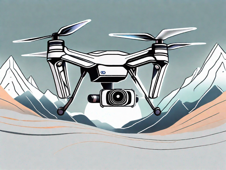
Are you looking for the best photogrammetry drone to take your aerial photography to new heights? Photogrammetry drones are revolutionizing the way we capture and analyze data from above. In this article, we will dive into the world of photogrammetry drones, explore their key features, compare top models, provide maintenance tips, and glimpse into the future of this exciting technology.
Understanding Photogrammetry Drones
Before we delve into the details, let’s first understand what photogrammetry is all about. Simply put, photogrammetry is the science of making measurements and creating maps or 3D models using photographs. Traditional photogrammetry required specialized equipment and extensive processing time. However, with the advent of drones, capturing aerial imagery has become easier and more accessible.
Photogrammetry drones are equipped with high-resolution cameras that capture a series of overlapping photos from different angles. These photos are then fed into photogrammetry software, which automatically stitches them together to create accurate and detailed maps or 3D models.
But how does photogrammetry actually work? Let’s take a closer look.
What is Photogrammetry?
Photogrammetry is a technique that uses photographs to measure and create maps or 3D models. By analyzing the geometry and position of objects in multiple images, photogrammetry software can accurately reconstruct the shape and dimensions of the photographed scene.
Photogrammetry has been used in various fields, including architecture, archaeology, forestry, and urban planning. It allows professionals to obtain precise measurements and detailed visual representations of real-world objects and environments.
Before the advent of drones, photogrammetry was primarily done using manned aircraft or ground-based cameras. These methods were often expensive, time-consuming, and limited in terms of accessibility. However, with the introduction of photogrammetry drones, the process has been revolutionized.
How Drones Utilize Photogrammetry
Photogrammetry drones utilize this technique by capturing aerial imagery with high-resolution cameras and feeding them into software that stitches the photos together to create maps or 3D models. The drones are equipped with GPS and advanced flight control systems, allowing them to fly predetermined routes and capture images from different angles and altitudes.
Once the images are captured, they are transferred to a computer where photogrammetry software processes them. The software analyzes the overlapping areas in the images and identifies common features to align and stitch them together. This process, known as image matching, involves complex algorithms that calculate the position and orientation of each photo in relation to the others.
After the images are aligned, the software generates a dense point cloud, which is a 3D representation of the scene based on the calculated positions of the common features. This point cloud can then be used to create accurate maps, digital surface models, or even 3D models of the objects or terrain captured by the drone.
Photogrammetry drones have opened up new possibilities in various industries. In construction, they can be used to monitor progress, detect errors, and create as-built models. In agriculture, they can help analyze crop health and optimize irrigation. In surveying and mapping, they can provide detailed and up-to-date topographic data. The applications are endless.
As technology continues to advance, photogrammetry drones are becoming more sophisticated and capable. Higher resolution cameras, improved flight control systems, and more advanced software algorithms are constantly being developed, allowing for even more accurate and detailed results.
In conclusion, photogrammetry drones have revolutionized the field of mapping and 3D modeling. They have made the process more accessible, efficient, and cost-effective. With their ability to capture aerial imagery and utilize advanced software, these drones are changing the way we understand and interact with our physical environment.
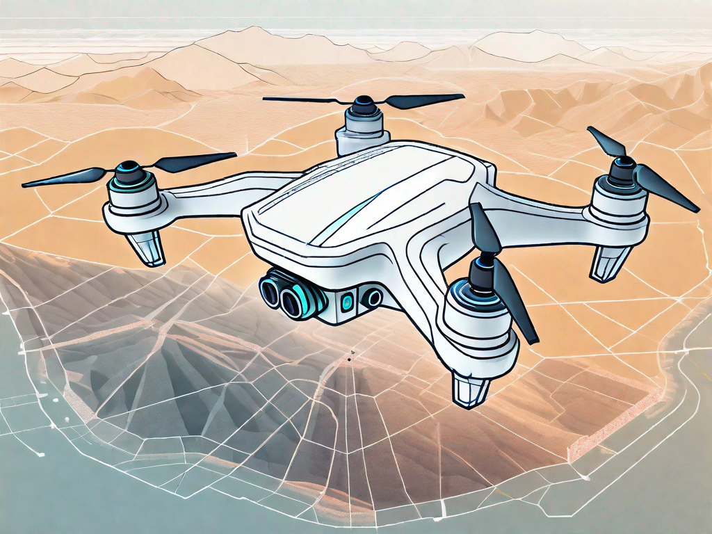
Key Features of Top Photogrammetry Drones
Camera Quality and Resolution
One of the most crucial factors to consider when choosing a photogrammetry drone is its camera quality and resolution. The higher the resolution, the more detail your images will contain, resulting in more accurate and precise maps or 3D models.
Look for drones with cameras that have a pixel count of at least 12 megapixels and support RAW image format for maximum flexibility during post-processing.
Furthermore, the camera lens quality also plays a significant role in capturing high-quality images. Look for drones with lenses made from high-grade glass materials to minimize distortion and maximize image sharpness.
Moreover, some advanced photogrammetry drones offer interchangeable lenses, allowing you to choose the best lens for different mapping or modeling scenarios. This flexibility can greatly enhance the versatility of your drone and the quality of the data it captures.
Flight Time and Battery Life
Another important consideration is the drone’s flight time and battery life. Ideally, you’ll want a drone that can stay aloft for an extended period to cover a larger area without needing frequent battery changes.
Look for drones with a flight time of 20 minutes or more and consider investing in spare batteries to maximize your productivity. Additionally, pay attention to the drone’s charging time. Some drones offer fast-charging capabilities, allowing you to quickly replenish the battery and get back in the air.
Furthermore, the battery life of a drone can be affected by various factors such as payload weight, wind conditions, and flight speed. Understanding these factors and their impact on battery life can help you plan your missions more effectively and ensure uninterrupted data collection.
Moreover, some advanced drones come with intelligent battery management systems that provide real-time battery status and alerts, allowing you to monitor the remaining flight time accurately and avoid unexpected battery failures during critical operations.
Stability and Wind Resistance
A stable flight is critical for capturing clear and sharp images necessary for photogrammetry. Look for drones with advanced stabilization features, such as GPS or gyroscopic sensors, to ensure smooth flights and minimize vibrations.
Additionally, choose a drone that can withstand windy conditions, as gusts of wind can destabilize the drone and affect the quality of your images. Look for models with wind resistance ratings of at least level 4 or 5.
Furthermore, some drones offer intelligent flight modes specifically designed for windy conditions. These modes utilize advanced algorithms to compensate for wind disturbances and maintain stable flight, allowing you to capture high-quality data even in challenging weather conditions.
Moreover, consider the drone’s overall build quality and aerodynamic design. Drones with sturdy construction and streamlined shapes are more likely to handle windy conditions effectively and maintain stability throughout the flight.
Furthermore, some drones offer retractable landing gear, which not only enhances the drone’s stability during takeoff and landing but also reduces the chances of the landing gear obstructing the camera’s field of view, ensuring unobstructed image capture.
Comparing Top Photogrammetry Drones
Price vs Performance
When it comes to choosing the best photogrammetry drone, striking a balance between price and performance is essential. While higher-end models may offer advanced features and better image quality, they often come with a higher price tag. Consider your budget and evaluate drones that offer a good balance of performance and affordability.
One important factor to consider is the camera quality. Higher-end drones often come equipped with high-resolution cameras that can capture detailed images with greater accuracy. These drones may also have advanced stabilization systems, allowing for smoother footage and more precise mapping.
On the other hand, more affordable drones may have slightly lower image quality, but they can still produce decent results for basic photogrammetry needs. These drones may be a suitable option for beginners or those on a tighter budget.
Additionally, it’s worth considering the flight time and battery life of the drone. Higher-end models tend to have longer flight times, allowing for more extensive mapping missions without the need for frequent battery changes. This can be particularly beneficial when working on larger projects or in remote areas where access to power sources may be limited.
User-Friendliness and Learning Curve
Not all drones are created equal when it comes to ease of use. Some models are designed with beginner-friendly features, such as intuitive controls and automated flight modes, while others may require more technical knowledge and experience to operate.
Consider your level of expertise and choose a drone that suits your skill level. If you’re a beginner, look for models with features like GPS-assisted flight and obstacle avoidance for added safety and ease of use.
Furthermore, some drones offer dedicated software that simplifies the photogrammetry process. These software solutions often have user-friendly interfaces and step-by-step guides, making it easier for beginners to capture and process accurate 3D models.
For more advanced users, drones with manual control options and customizable settings may be preferred. These drones allow for greater flexibility and control over the mapping process, enabling experienced users to fine-tune their results.
After-Sales Support and Warranty
Before making a final decision, consider the after-sales support and warranty offered by the manufacturer. A reliable and responsive customer support team can be invaluable in case you encounter any issues or have questions about your drone.
It’s important to research the manufacturer’s reputation for customer service and read reviews from other users to gauge their level of satisfaction. Prompt and effective support can save you time and frustration in the long run.
Furthermore, check the warranty terms and conditions to ensure you are well-covered in case of any hardware or software defects. A comprehensive warranty can provide peace of mind and protect your investment.
Some manufacturers also offer extended warranty options or additional service packages that can be beneficial, especially for professional users who rely heavily on their drones for photogrammetry work.
Lastly, consider the availability of spare parts and accessories for the drone you are considering. Being able to easily obtain replacement parts or upgrade components can extend the lifespan of your drone and enhance its capabilities over time.
Maintenance Tips for Photogrammetry Drones
Regular Check-ups and Cleaning
Maintaining your photogrammetry drone in optimal condition is key to its longevity and performance. Regularly inspect your drone for any physical damage or loose parts. This includes checking the frame for cracks or dents, ensuring that all screws and fasteners are tightened properly, and examining the landing gear for any signs of wear and tear.
Cleaning the camera lens is essential to ensure clear and high-quality images. Use a microfiber cloth or lens cleaning solution recommended by the manufacturer to gently remove any smudges or dirt. Pay attention to the propellers as well, as they can accumulate dust and debris during flights. Clean them using a soft brush or compressed air to maintain their efficiency and prevent any imbalance during operation.
Remember to follow the manufacturer’s instructions for cleaning and always handle your drone with care. Avoid exposing it to extreme temperatures or harsh environments that could potentially damage its delicate components.
Battery Care and Storage
Proper battery care is crucial to maximize the lifespan of your drone’s batteries and ensure consistent performance. Always follow the manufacturer’s guidelines for charging and discharging the batteries to prevent damage and maintain optimal functionality.
When charging your drone’s batteries, use the provided charger or a reputable third-party charger specifically designed for your drone model. Avoid using chargers that are not recommended, as they may not provide the correct voltage or current, leading to potential battery damage or even fire hazards.
It is also important to avoid over-discharging or overcharging the batteries. Over-discharging can significantly reduce the battery’s capacity, while overcharging can cause overheating and potentially lead to battery failure. To prevent these issues, monitor the battery voltage during flights and land the drone when the battery level reaches the recommended minimum. When storing your drone for an extended period, make sure to charge the batteries to around 50% to prevent over-discharge or overcharging.
Handling and Transporting Your Drone
When handling and transporting your drone, always prioritize its safety and protection. Use a sturdy carry case or backpack specifically designed for drones to ensure that your equipment is shielded from impacts, dust, and moisture. These cases often come with foam inserts or compartments that provide a snug fit for your drone and its accessories, preventing any movement or potential damage during transport.
Before each flight, ensure that the propellers are securely fastened. Loose or improperly tightened propellers can lead to accidents or damage to your drone or surroundings. Check the propellers for any signs of wear, such as cracks or chips, and replace them if necessary. It is also a good practice to carry spare propellers in case of emergencies.
During transportation, be mindful of the drone’s weight and size. If you are traveling by air, check the airline’s regulations regarding drone transportation and pack your drone accordingly. Remove the batteries and place them in your carry-on luggage, as lithium-ion batteries are typically not allowed in checked baggage due to safety concerns.
By following these maintenance tips and taking proper care of your photogrammetry drone, you can ensure its longevity, optimize its performance, and capture stunning aerial imagery for your projects.
Future of Photogrammetry Drones
Technological Advancements on the Horizon
The world of photogrammetry drones is constantly evolving, with new technological advancements on the horizon. From improved cameras with higher resolutions and greater dynamic range to more sophisticated flight control systems, the future holds exciting possibilities for this rapidly developing field.
Potential New Uses and Applications
As photogrammetry continues to grow in popularity, so does its scope of applications. Beyond traditional fields like land surveying and mapping, photogrammetry drones are finding applications in various industries, including agriculture, construction, environmental monitoring, and archaeology.
With continuous innovation and exploration, the potential for photogrammetry drones is virtually limitless.
Frequently Asked Questions (FAQs)
FAQ 1: Can I use any drone for photogrammetry?
While any drone with a camera can technically be used for photogrammetry, specialized photogrammetry drones offer features and capabilities that enhance the accuracy and efficiency of your aerial imaging. They often come with dedicated software and superior camera quality designed explicitly for photogrammetry work.
FAQ 2: Do I need technical knowledge to operate a photogrammetry drone?
The level of technical knowledge required depends on the specific drone model and its features. Beginner-friendly drones often come with intuitive controls and automated flight modes, making them accessible to drone enthusiasts with minimal experience. However, more advanced and professional-grade drones may require a deeper understanding of flight operations and software interfaces.
FAQ 3: How accurate are photogrammetry drone-generated maps and 3D models?
The accuracy of photogrammetry drone-generated maps and 3D models depends on several factors, including the quality of the camera, the number of overlapping images, the processing software used, and the ground control points (GCPs) used for georeferencing. With high-quality equipment and meticulous planning, photogrammetry drone-generated outputs can achieve centimeter-level accuracy.
FAQ 4: Can photogrammetry drones be used in real-time monitoring?
While photogrammetry drones are primarily used for image capture and post-processing, some advanced models offer real-time monitoring capabilities, especially in agriculture and construction applications. These drones can transmit live video feeds and analyze data on the fly, enabling immediate decision-making and intervention.
FAQ 5: Can I fly a photogrammetry drone in windy conditions?
It is not recommended to fly a photogrammetry drone in strong winds as it can affect image quality and stability. High wind speed can cause the drone to drift and introduce errors in the image alignment, resulting in inaccurate maps or 3D models. Always check the wind resistance rating of your drone and avoid flying in adverse weather conditions.
FAQ 6: Do I need a license to fly a photogrammetry drone?
The licensing requirements for flying a photogrammetry drone vary between countries and regions. In many jurisdictions, drones over a certain weight or for commercial use require proper registration and certification. It’s essential to familiarize yourself with the local regulations and obtain any necessary permits or licenses before operating a photogrammetry drone.
FAQ 7: How long does it take to process photogrammetry data?
The processing time for photogrammetry data depends on various factors, including the number of images, the processing power of your computer, and the complexity of the scene. While some basic models and software can provide quick results, more complex projects with high-resolution imagery may require several hours or even days of processing time.
| Drone Model | Camera Resolution | Flight Time | Wind Resistance |
|---|---|---|---|
| Drone A | 20MP | 25 minutes | Level 4 |
| Drone B | 24MP | 30 minutes | Level 5 |
As you can see, the world of photogrammetry drones offers a diverse range of options to suit different needs and budgets. Whether you’re a professional surveyor, an archaeologist, or a hobbyist looking to explore new perspectives, investing in a quality photogrammetry drone can open up a world of possibilities. Remember to consider the key features, compare models, and follow proper maintenance guidelines to make the most of your aerial imaging adventures.