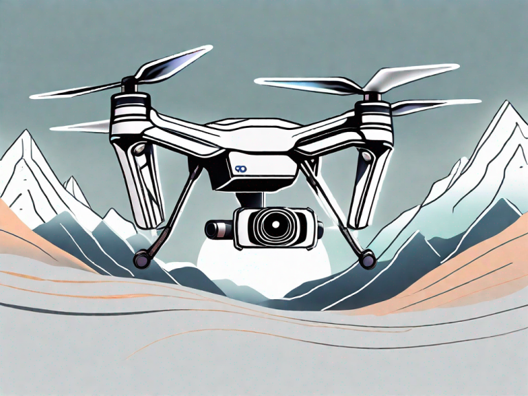
Surveying and mapping have been revolutionized by the use of drones in recent years. Drones, also known as unmanned aerial vehicles (UAVs), offer a more efficient and cost-effective alternative to traditional land surveying methods. They allow surveyors to collect high-resolution aerial data quickly and safely, covering large areas with minimal effort. This not only enables faster decision-making but also reduces human error and provides detailed insights into the land, infrastructure, and environmental conditions.
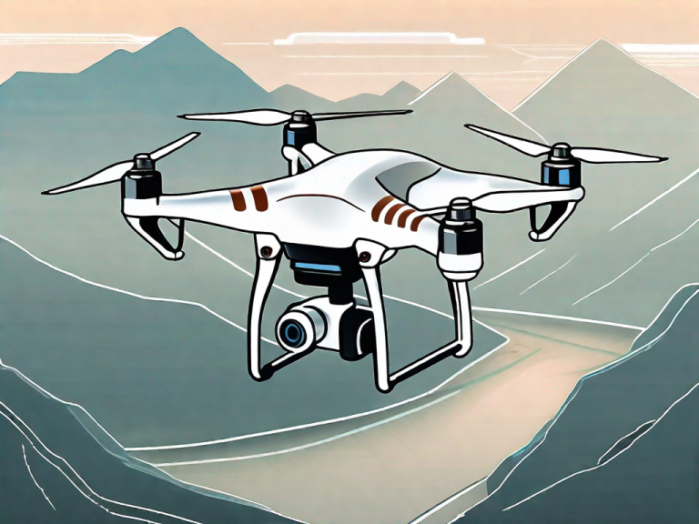
When it comes to choosing the best drone for surveying, it’s important to consider specific features and capabilities that are essential for accurate mapping and data collection. Not all drones are suitable for this task, so here’s a list of the top 5 drones that are specifically designed for mapping and surveying:
Key Takeaways:
- Drones offer a more efficient and cost-effective alternative to traditional land surveying methods.
- The top 5 drones for surveying are the DJI Mavic 3 Enterprise, DJI Matrice 300 with Zenmuse P1, DJI Phantom 4 RTK, Yuneec H520 RTK, and senseFly eBee X.
- When selecting a mapping and surveying drone, qualities to consider include a mechanical shutter and fixed-wing vs multirotor design.
The Benefits of Using Drones for Surveying
Drones, also known as unmanned aerial vehicles (UAVs), offer a more efficient and cost-effective alternative to traditional land surveying methods. They allow surveyors to collect high-resolution aerial data quickly and safely, covering large areas with minimal effort. This not only enables faster decision-making but also reduces human error and provides detailed insights into the land, infrastructure, and environmental conditions.
There are many benefits to using drones for surveying, including:
- Quick and Safe Data Collection: Drones can cover large areas in a short amount of time, reducing the need for manual data collection and potentially hazardous on-site inspections.
- Large Coverage Areas: Drones can collect data from places that may be difficult or unsafe for human surveyors to access. This allows for a more comprehensive analysis of the area being surveyed.
- Reduced Human Error: Drones provide accurate and consistent data, reducing the risk of errors that can occur with traditional surveying methods.
- Detailed Insights: Drones offer high-resolution imaging and 3D mapping capabilities, allowing surveyors to detect and analyze important details such as changes in elevation, infrastructure conditions, and vegetation cover.
Overall, using drones for surveying can greatly enhance the efficiency and accuracy of mapping projects. With the right drone and equipment, surveyors can obtain detailed insights and streamline decision-making processes.
Top 5 Drones for Surveying
Factual data: Surveying and mapping have been revolutionized by the use of drones in recent years. Drones, also known as unmanned aerial vehicles (UAVs), offer a more efficient and cost-effective alternative to traditional land surveying methods. They allow surveyors to collect high-resolution aerial data quickly and safely, covering large areas with minimal effort. This not only enables faster decision-making but also reduces human error and provides detailed insights into the land, infrastructure, and environmental conditions.
When it comes to choosing the best drone for surveying, it’s important to consider specific features and capabilities that are essential for accurate mapping and data collection. Not all drones are suitable for this task, so here’s a list of the top 5 drones that are specifically designed for mapping and surveying:
| Drone | Features |
|---|---|
| DJI Mavic 3 Enterprise | The Mavic 3 Enterprise is an excellent choice for mapping due to its mechanical shutter, which eliminates rolling shutter issues and ensures sharper images. It features a larger micro 4/3 sensor compared to its predecessor, the Phantom 4, resulting in better low-light capabilities. With a flight time of up to 45 minutes, it offers extended aerial coverage. |
| DJI Matrice 300 with Zenmuse P1 | This combo is the ultimate setup for advanced surveying and mapping. The Zenmuse P1 is a full-frame camera with a mechanical shutter and adjustable lenses, providing high-resolution and accurate mapping data. The Matrice 300 offers exceptional flight performance, with a 55-minute flight time and a 15 km transmission range. |
| DJI Phantom 4 RTK | The Phantom 4 RTK is a professional-grade drone that combines the industry-defining features of the Phantom 4 with RTK technology. It features a 1-inch CMOS sensor, a 3-axis gimbal, and a 5870 mAh battery that can keep the drone airborne for up to 30 minutes. The RTK module enables centimeter-level accuracy in spatial data collection. |
| Yuneec H520 RTK | The H520 RTK offers a wide range of solutions for mapping professionals. It comes with a built-in RTK module and a Network RTK base station, allowing for precise data collection. It is compatible with various high-end accessories, such as the CGOET thermal camera and the E90 20MP high-speed camera, expanding the possibilities for surveying projects. |
| senseFly eBee X | The eBee X is a fixed-wing drone that offers versatility and long flight times. With a flight time of up to 90 minutes, it is ideal for covering large areas efficiently. It is compatible with a range of payload options, including the SODA 3D mapping camera and the Parrot Sequoia multispectral sensor, providing flexibility for different mapping needs. |
When selecting a mapping and surveying drone, there are certain qualities to consider:
- Mechanical Shutter: A drone with a mechanical shutter is essential for professional drone mapping. It eliminates motion blur and ensures sharper images.
- Fixed-Wing vs Multirotor: Fixed-wing drones offer longer flight times and cover larger areas efficiently, while multirotor drones are easier to maneuver and hover in place.
These are just a few of the best drones for surveying and mapping purposes. Each drone offers unique features and capabilities, so it’s important to consider your specific requirements and budget before making a decision. With the right drone, surveying and mapping tasks can be carried out more accurately, efficiently, and cost-effectively.
DJI Mavic 3 Enterprise
The Mavic 3 Enterprise is an excellent choice for mapping due to its mechanical shutter, which eliminates rolling shutter issues and ensures sharper images. It features a larger micro 4/3 sensor compared to its predecessor, the Phantom 4, resulting in better low-light capabilities. With a flight time of up to 45 minutes, it offers extended aerial coverage.
DJI Matrice 300 with Zenmuse P1
This combo is the ultimate setup for advanced surveying and mapping. The Zenmuse P1 is a full-frame camera with a mechanical shutter and adjustable lenses, providing high-resolution and accurate mapping data. The Matrice 300 offers exceptional flight performance, with a 55-minute flight time and a 15 km transmission range.
The Zenmuse P1 camera has a 45-megapixel full-frame sensor, capable of capturing 2D and 3D data with centimeter-level accuracy. It features a global mechanical shutter, which eliminates rolling shutter distortion and enables high-quality imaging even when the UAV is moving. The camera also has a wide range of interchangeable lenses to suit different mapping needs.
The Matrice 300 is DJI’s flagship commercial drone, designed for high-end aerial surveying, inspection, and mapping. It has a maximum flight time of 55 minutes and can cover up to 15 km away from the operator. It also features advanced AI capabilities, such as obstacle avoidance, real-time auto-switching between two payloads, and AI Spot-Check, which highlights critical issues in real-time during automated inspections.
The Matrice 300 with Zenmuse P1 combo is an ideal choice for professionals and organizations looking for unmatched performance and precision in their surveying and mapping projects.
DJI Phantom 4 RTK
The Phantom 4 RTK is a professional-grade drone that combines the industry-defining features of the Phantom 4 with RTK technology. It features a 1-inch CMOS sensor, a 3-axis gimbal, and a 5870 mAh battery that can keep the drone airborne for up to 30 minutes. The RTK module enables centimeter-level accuracy in spatial data collection.
With the Phantom 4 RTK, surveyors can acquire accurate data faster and more efficiently than with traditional surveying methods. The drone can cover large areas with minimal effort, reducing the need for ground-based measurements. The RTK module also delivers highly accurate positioning data, which is essential for survey-grade mapping projects.
The Phantom 4 RTK is compatible with a range of accessories, including the D-RTK 2 Mobile Station, which enhances the drone’s positioning accuracy in challenging environments. It also has a range of intelligent flight modes, such as Waypoint, which allows surveyors to plan and execute automated flights for efficient surveying.
Overall, the Phantom 4 RTK offers a powerful combination of high-quality imaging, advanced positioning technology, and efficient flight performance, making it an excellent choice for surveying and mapping professionals.
The Yuneec H520 RTK: A Versatile Solution for Mapping Professionals
The H520 RTK offers a wide range of solutions for mapping professionals. Equipped with a built-in RTK module and a Network RTK base station, it enables precise and accurate data collection. The H520 RTK is also compatible with various high-end accessories, allowing for versatile solutions in surveying projects.
The RTK module in the H520 RTK enables centimeter-level accuracy in spatial data collection. Its built-in base station can connect to a network of reference stations for even greater accuracy. This ensures that surveying data is highly accurate and reliable, making the H520 RTK an ideal choice for mapping professionals with demanding requirements.
In addition, the H520 RTK is compatible with various high-end accessories, such as the CGOET thermal camera and the E90 20MP high-speed camera. These accessories expand the possibilities for surveying projects and provide more detailed insights into land, infrastructure, and environmental conditions. The H520 RTK can also be equipped with the H20T camera, a 3-axis gimbal camera that features a 20MP sensor, a 12x zoom, and a laser range finder.
Moreover, the H520 RTK offers versatility in its flight capabilities. It can operate in different weather conditions and fly in winds of up to 38.5 mph. Its six-rotor design provides stability in flight and makes it easier to maneuver in tight spaces. The H520 RTK also offers a flight time of up to 28 minutes, allowing for efficient coverage of larger areas.
In conclusion, the Yuneec H520 RTK is a versatile solution for mapping professionals who require precise data collection and detailed insights into surveying projects. Its built-in RTK module and compatibility with high-end accessories make it a cost-effective and efficient solution that can meet demanding requirements. Consider the H520 RTK when selecting a mapping and surveying drone to ensure accuracy, efficiency, and productivity in your surveying projects.
The senseFly eBee X: A Versatile Fixed-Wing Drone
The eBee X is a fixed-wing drone that offers versatility and long flight times, making it an ideal choice for surveying and mapping professionals. With a flight time of up to 90 minutes, it can cover large areas efficiently, reducing the need for multiple flights and maximizing productivity. The eBee X is also lightweight and portable, making it easy to transport and set up in the field.
The eBee X is compatible with a range of payload options, providing flexibility for different mapping needs. The SODA 3D mapping camera offers high-resolution imaging of up to 800 images per flight, while the Parrot Sequoia multispectral sensor provides accurate and detailed data on vegetation health and crop management. The eBee X can also be used with the Duet T for simultaneous RGB and thermal imaging, ideal for environmental monitoring and inspection tasks.
The fixed-wing design of the eBee X enables it to cover large areas quickly and efficiently, making it an ideal choice for mapping projects, especially in rural or remote locations. It can also withstand harsh weather conditions and high winds, ensuring continuous data collection even in challenging environments.
Overall, the senseFly eBee X offers versatility, flexibility, and long flight times, making it an excellent choice for a wide range of surveying and mapping tasks.
Choosing the Right Mapping and Surveying Drone
When selecting a mapping and surveying drone, there are certain qualities to consider. The right drone can make all the difference in achieving accurate and efficient mapping and data collection. Here are some of the key drone selection considerations to keep in mind:
Mechanical Shutter
A drone with a mechanical shutter is essential for professional drone mapping. It eliminates motion blur and ensures sharper images. This is especially important when mapping or surveying infrastructure, where precise measurements are crucial.
Fixed-Wing vs. Multirotor
Fixed-wing drones offer longer flight times and cover larger areas efficiently but require more space to take off and land. On the other hand, multirotor drones are easier to maneuver and hover in place, making them better suited for smaller and more complex spaces.
When it comes to selecting a mapping and surveying drone for your needs, it’s important to weigh these and other factors based on your specific project requirements and budget.
Conclusion
These are just a few of the best drones for surveying and mapping purposes. With the advancements in technology and the affordability of drones, more companies are adopting this method for surveying. Drones enable faster, more detailed, and accurate surveying, enhancing productivity and reducing costs.
When choosing the best drone for your project, consider important features such as mechanical shutter, fixed-wing vs multirotor, flight time, and the compatibility of accessories. The right drone can make a significant difference in the quality and accuracy of your data collection, enabling you to make faster and better-informed decisions.
Overall, DJI Mavic 3 Enterprise stands out as the best drone for surveying due to its exceptional features and capabilities. It offers high-resolution aerial data, extended flight time, and reduced rolling shutter issues, making it the most suitable drone for professional surveying tasks.
FAQ
Q: What are the benefits of using drones for surveying?
A: Drones offer quick and safe data collection, large coverage areas, reduced human error, and detailed insights into land, infrastructure, and environmental conditions.
Q: What is the DJI Mavic 3 Enterprise drone known for?
A: The DJI Mavic 3 Enterprise drone is known for its mechanical shutter, micro 4/3 sensor, low-light capabilities, and extended flight time.
Q: What are the features of the DJI Matrice 300 with Zenmuse P1 combo?
A: The DJI Matrice 300 with Zenmuse P1 combo features a full-frame camera with a mechanical shutter and adjustable lenses, as well as exceptional flight performance.
Q: What makes the DJI Phantom 4 RTK a professional-grade drone?
A: The DJI Phantom 4 RTK combines industry-defining features with RTK technology for centimeter-level accuracy in spatial data collection.
Q: What are the advantages of the Yuneec H520 RTK drone?
A: The Yuneec H520 RTK drone offers precise data collection with its built-in RTK module, compatibility with high-end accessories, and versatile solutions for surveying projects.
Q: What are the key features of the senseFly eBee X fixed-wing drone?
A: The senseFly eBee X fixed-wing drone offers long flight times, compatibility with various payload options, and versatility in mapping projects.
Q: What should I consider when choosing a mapping and surveying drone?
A: It’s important to consider drones with mechanical shutters for sharper images and to decide between fixed-wing drones for longer flight times or multirotor drones for maneuverability.