Drones, also known as unmanned aerial vehicles (UAVs), have become increasingly prevalent in today’s world. They have evolved from military surveillance devices to multifunctional tools used in various industries. In this article, we will explore the numerous applications and benefits of drones, as well as their impact on different sectors.
Understanding the Role of Drones in Modern Applications
Drones have revolutionized the way we gather information, capture images, and perform tasks. They are now widely utilized in agriculture, construction, search and rescue operations, environmental conservation, geographic mapping, logistics, and many other fields.
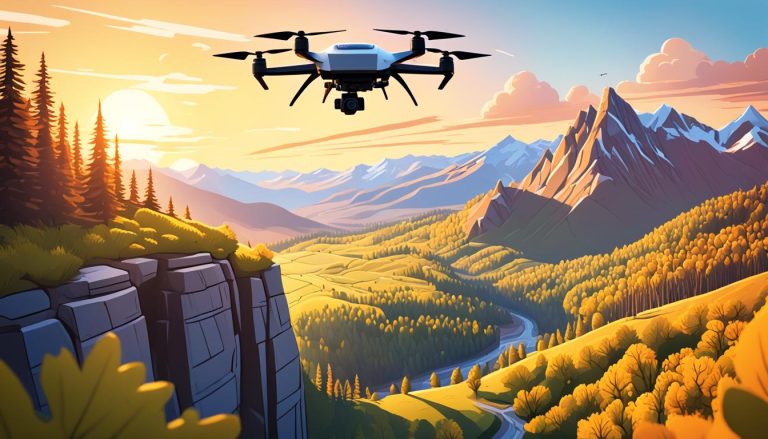
One of the key advantages of drones is their ability to access hard-to-reach areas. In industries such as mining and oil exploration, drones are used to inspect and monitor remote locations that are difficult for humans to access. This not only improves safety by reducing the risk of accidents, but also allows for more efficient and cost-effective operations.
The Evolution of Drone Technology and its Impact on Various Industries
Over the years, drone technology has advanced significantly, enabling more sophisticated applications. For instance, in agriculture, drones are equipped with sensors and cameras that can monitor crops, detect diseases, and optimize irrigation. This technology helps farmers increase productivity and reduce waste by providing real-time data on crop health and yield estimates.
In the construction industry, drones are used for site inspection and mapping, allowing for efficient and accurate data collection. They can also be utilized to monitor construction progress, enhance safety inspections, and improve overall project management. By eliminating the need for manual surveys and inspections, drones save time, resources, and reduce human errors.
In the field of environmental conservation, drones have proven to be valuable tools for monitoring and protecting wildlife. With their ability to fly over vast areas and capture high-resolution images and videos, drones can assist in tracking animal populations, identifying illegal activities such as poaching, and monitoring the health of ecosystems. This technology allows conservationists to gather data more efficiently and make informed decisions to preserve biodiversity.
In the field of emergency response, drones have become essential in disaster management and search and rescue operations. Equipped with thermal imaging cameras and sensors, drones can quickly locate survivors in hard-to-reach areas, assess damage, and provide real-time situational awareness to emergency responders. By providing aerial support, drones help save lives, reduce response time, and improve the effectiveness of emergency operations.
Exploring the Versatility and Capabilities of Drone Applications
Drones have proven to be highly versatile tools, capable of performing a wide range of tasks. In the field of search and rescue operations, drones equipped with thermal imaging cameras can locate missing persons or assess challenging and hazardous terrains. This technology enables rescue teams to respond quickly and effectively, potentially saving lives.
When it comes to environmental conservation and wildlife preservation, drones offer immense benefits. They can monitor and analyze wildlife habitats, detect illegal activities (such as poaching and deforestation), and provide valuable data for conservation efforts. Drones also play a crucial role in mapping and managing protected areas, ensuring the preservation of biodiversity.
In addition to search and rescue operations and environmental conservation, drones are also being utilized in the field of agriculture. With the ability to capture high-resolution aerial imagery, drones can assist farmers in monitoring crop health, identifying areas of pest infestation or nutrient deficiencies, and optimizing irrigation and fertilization practices. This technology allows for more efficient and sustainable farming practices, ultimately increasing crop yields and reducing environmental impact.
The Benefits and Advantages of Implementing Drones in Different Sectors
Implementing drones in various sectors brings numerous benefits and advantages. One key advantage is increased efficiency. Drones can operate quickly and cover large areas in a short amount of time. This efficiency translates into cost savings, as fewer resources are required to achieve the same outcomes compared to traditional methods.
Another significant advantage is improved safety. In hazardous industries like construction and search and rescue, drones can access areas that might otherwise be dangerous or inaccessible to humans. By reducing human exposure to potential risks, drones contribute to enhanced safety standards and minimization of accidents.
Additionally, implementing drones can lead to improved data collection and analysis. Drones equipped with advanced sensors and cameras can gather high-quality data from various perspectives and angles. This data can then be analyzed to gain valuable insights and inform decision-making processes. The ability to collect and analyze data in real-time allows for more accurate and timely decision-making, leading to improved operational efficiency and effectiveness.
Furthermore, drones have the potential to revolutionize the delivery and logistics industry. With their ability to navigate through congested areas and bypass traffic, drones can significantly reduce delivery times and costs. This is particularly beneficial for time-sensitive deliveries or remote locations where traditional transportation methods may be limited. By incorporating drones into the delivery process, businesses can enhance customer satisfaction and streamline their operations.
How Drones are Revolutionizing Agriculture and Farming Practices
Drone technology has brought about a significant revolution in the agricultural sector. Farmers can now use drones to monitor crop health, identify nutrient deficiencies, and determine irrigation needs. These capabilities result in optimized resource allocation, leading to increased yields and reduced environmental impact.
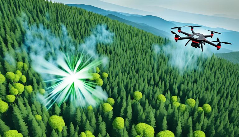
Furthermore, drones equipped with high-resolution cameras and sensors can identify and target specific areas affected by pests or diseases. This targeted approach allows farmers to apply pesticides or treatments only where necessary, minimizing the use of chemicals and reducing potential harm to the environment.
In addition to crop monitoring and pest control, drones are also being used in agriculture for precision planting. By using GPS technology, drones can accurately plant seeds in specific locations, ensuring optimal spacing and reducing waste. This precision planting technique can lead to more uniform crop growth and higher yields.
Moreover, drones are being utilized for crop spraying, replacing traditional methods that often involve large machinery or manual labor. With drones, farmers can spray crops more efficiently and effectively, as the drones can navigate through fields with precision and reach areas that are difficult to access by other means. This not only saves time and labor costs but also reduces the risk of crop damage caused by heavy machinery.
Unleashing the Potential: Drones in Construction and Infrastructure Development
Construction and infrastructure development rely heavily on accurate data collection and site monitoring. Drones are becoming invaluable tools in these areas, providing real-time data on project progress, site inspection, and mapping.
With aerial photography and videography capabilities, drones can capture detailed images and videos of construction sites, enabling project managers to assess and analyze various aspects of the project. This information can improve decision-making, enhance communication between stakeholders, and ultimately result in more efficient and successful construction projects.
In addition to data collection and site monitoring, drones are also being used for safety inspections in construction and infrastructure development. Equipped with thermal imaging cameras, drones can identify potential hazards such as structural weaknesses or leaks in pipelines. This allows for early detection and prevention of accidents, ensuring the safety of workers and the integrity of the project.
Enhancing Safety and Efficiency: Drones in Search and Rescue Operations
In search and rescue operations, time is of the essence. Drones equipped with thermal imaging cameras and GPS technology can swiftly scan large areas and detect individuals in need of assistance. The ability to provide real-time video feeds and high-resolution images to rescue teams significantly improves search efforts.
Drones also aid in assessing hazardous situations before sending in human personnel, minimizing risks and ensuring the safety of rescue teams. This technology allows for a more coordinated and efficient response, ultimately increasing the chances of a successful rescue operation.
Furthermore, drones can be equipped with advanced sensors and communication systems that enable them to detect and locate survivors even in challenging environments such as dense forests or rugged terrains. This capability is particularly valuable in situations where traditional search methods may be limited or ineffective.
In addition to their search capabilities, drones can also be used to deliver essential supplies and medical equipment to remote or inaccessible areas. By carrying out these tasks, drones not only save time and resources but also reduce the risk of injury or exhaustion for rescue personnel who would otherwise have to navigate difficult terrain.
The Growing Role of Drones in Environmental Conservation and Wildlife Preservation
The application of drones in environmental conservation and wildlife preservation has proven crucial in combating illegal activities and protecting endangered species. By conducting aerial surveys, drones can monitor habitats, identify potential threats, and aid conservationists in implementing necessary measures.
Drones equipped with advanced imaging technologies, such as LIDAR and hyperspectral sensors, can capture highly detailed imagery of ecosystems. This data provides valuable insights into vegetation health, wildlife population dynamics, and ecosystem changes. By analyzing this information, researchers can develop effective conservation strategies and policies.
In addition to monitoring habitats and capturing detailed imagery, drones are also being used to track animal movements and behavior. By attaching GPS trackers to animals or using thermal imaging cameras, drones can gather data on migration patterns, nesting sites, and feeding habits. This information helps researchers understand the behavior of different species and make informed decisions regarding their conservation.
Furthermore, drones are being utilized in the fight against poaching and illegal wildlife trade. With their ability to cover large areas quickly and discreetly, drones can detect and deter illegal activities, such as hunting, logging, and trafficking. They can also assist law enforcement agencies in identifying and apprehending poachers, providing crucial evidence for prosecution.
Drones as Tools for Geographic Mapping, Surveying, and Land Management
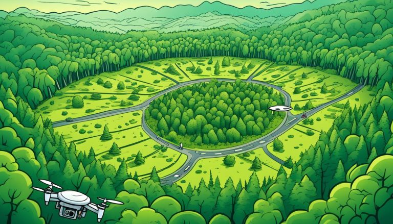
Geographic mapping, surveying, and land management are areas where drones excel. With onboard GPS and cameras, drones can efficiently capture topographical data, create accurate 3D models, and assist in land surveying. This technology streamlines mapping processes, reduces costs associated with traditional methods, and improves data accuracy.
Drones equipped with Light Detection and Ranging (LiDAR) sensors can perform detailed terrain mapping, particularly useful in forestry, urban planning, and disaster risk management. The high-resolution data collected by drones aids in assessing potential hazards, analyzing land use patterns, and facilitating effective decision-making processes.
In addition to their mapping and surveying capabilities, drones are also being used for land management purposes. By using drones equipped with thermal imaging cameras, land managers can identify areas of vegetation stress or disease, allowing for targeted treatment and conservation efforts. This technology enables more efficient and precise monitoring of large areas of land, leading to improved land management practices.
Furthermore, drones are increasingly being used for environmental monitoring and conservation efforts. With their ability to access remote and hard-to-reach areas, drones can collect data on wildlife populations, habitat conditions, and ecosystem health. This information is crucial for making informed decisions regarding conservation strategies and protecting biodiversity.
The Rise of Drone Delivery Services: Transforming Logistics and E-commerce
The advent of drone delivery services has fundamentally transformed the logistics and e-commerce sectors. Drones offer fast, cost-effective, and environmentally friendly deliverability. They are capable of transporting small packages over short distances, bypassing traffic congestion and reducing last-mile delivery challenges.
With the use of drones, companies can deliver goods directly to the customer’s doorstep, further enhancing their customer experience. This technology opens up new opportunities for online retailers, enabling them to provide swift and efficient delivery services while increasing their reach and competitiveness in the market.
In addition to their speed and efficiency, drone delivery services also have the potential to revolutionize emergency response and disaster relief efforts. Drones can be deployed quickly to deliver essential supplies, medical equipment, and aid to areas that are difficult to access due to natural disasters or other emergencies. This capability can significantly improve response times and save lives in critical situations.
Furthermore, the use of drones in delivery services can greatly reduce the carbon footprint associated with traditional transportation methods. By replacing delivery trucks and vans with drones, companies can significantly decrease their emissions and contribute to a more sustainable future. This aligns with the growing demand for eco-friendly practices and can enhance a company’s reputation as a socially responsible business.
Harnessing the Power of Aerial Photography and Videography with Drones
Aerial photography and videography have been revolutionized by the use of drones. With their ability to access elevated positions and capture breathtaking shots, drones have become essential tools in the film production, advertising, and real estate industries.
Drones equipped with high-quality cameras can capture stunning aerial footage for cinematography and promotional purposes. In the real estate sector, drones provide an efficient and cost-effective solution for showcasing properties from unique perspectives, enhancing property marketing and attracting potential buyers.
In addition to film production, advertising, and real estate, drones have also found applications in various other industries. For example, in the agriculture sector, drones are used for crop monitoring, assessing plant health, and optimizing irrigation. By capturing aerial images, drones enable farmers to make data-driven decisions and improve crop yields.
Furthermore, drones have proven to be valuable tools in disaster management and search and rescue operations. Their ability to quickly navigate through difficult terrain and provide real-time aerial views allows emergency responders to assess the situation and plan their actions more effectively. Drones equipped with thermal imaging cameras can also help locate missing persons or identify hotspots in wildfires.
Understanding the Legalities and Regulations Surrounding Drone Usage
As drones become more prevalent, it is essential to understand and adhere to the legalities and regulations surrounding their usage. Different countries have specific rules regarding drone operations, including flight restrictions, privacy concerns, and licensing requirements.
Pilots and users are responsible for familiarizing themselves with these regulations and obtaining the necessary permits and certifications. This ensures safe and legal drone operations and helps mitigate potential risks and conflicts with public safety and privacy concerns.
One important aspect of drone regulations is the establishment of no-fly zones. These areas, such as airports, military bases, and government buildings, are off-limits for drone operations to ensure the safety and security of these sensitive locations. Violating these no-fly zones can result in severe penalties and legal consequences.
Challenges and Limitations of Drone Applications: What Lies Ahead?
While drones offer immense potential, there are still challenges and limitations that need to be addressed. One significant challenge is the limited battery life of drones, which restricts their flight duration and operational range. Advances in battery technology are necessary to overcome this limitation.
Additionally, airspace management remains a challenge, particularly in crowded urban areas. Establishing effective systems to manage and regulate drone traffic is crucial for the widespread adoption of drone technology. Collaborative efforts between regulatory bodies, manufacturers, and operators are essential to develop solutions that ensure safe and efficient drone integration into existing airspace.
Exploring Future Innovations in Drone Technology
As technology continues to advance, further innovations in drone technology are expected. The future of drones may include improved autonomy, longer flight durations, increased payload capacity, and enhanced obstacle detection and avoidance systems.
Advancements in artificial intelligence, machine learning, and data analytics will also play a significant role in unlocking the full potential of drones. These technologies can enable drones to analyze data in real-time, make more informed decisions, and adapt to changing environments, expanding their applications across various industries.
In conclusion, the applications of drones are vast and ever-growing. From agriculture and construction to search and rescue operations, drones have revolutionized numerous industries. Their ability to collect data, capture images and video, and perform tasks efficiently, safely, and cost-effectively has made them valuable tools. As regulations evolve and technology continues to advance, drones will undoubtedly play an increasingly prominent role in shaping the future of various sectors.
