It’s important to know the rules for drones and FAA guidelines for legal hyperlapse videography. Since 2016, aerial photography laws have changed a lot. Staying updated is key to avoid big fines and keep your projects legal.
Drone hyperlapse videography gives us amazing views of the world from above. It mixes time-lapse with flying, creating beautiful sequences. To do this safely and legally, you need to learn FAA rules and get the right certifications.
When you start with aerial hyperlapse, think about your gear, flying patterns, and where you can film. Knowing these things helps you follow drone laws and make great videos.
Understanding Aerial Hyperlapse Photography
Aerial hyperlapse photography combines drone tech with time-lapse. It lets you make amazing stories from above.
Definition of Hyperlapse vs. Time-Lapse
Time-lapse takes photos at regular intervals from one spot. Hyperlapse moves between shots. Using a drone for aerial hyperlapse, you get moving scenes from above.
Benefits of Using Drones for Hyperlapse
Drones are great for making hyperlapses:
- They give you high views
- Give smooth footage
- Let you film different places
- Help you cover big areas fast
Equipment Needed for Aerial Hyperlapse
For great aerial hyperlapse videos, you need certain gear and settings:
| Equipment | Purpose |
|---|---|
| Stable drone with advanced stabilization | Ensures smooth flight and footage |
| High-quality camera | Captures detailed images |
| ND filters | Controls light exposure |
| Extra batteries | Extends flight time |
| High-capacity memory cards | Stores large amounts of footage |
| Reliable remote controller | Provides precise control over drone movements |
Getting your camera settings right is key for aerial hyperlapse. Play with interval timing, shutter speed, and manual controls for smooth, pro-looking videos. With the right gear and settings, you’re set to make amazing aerial hyperlapse videos.
Essential Drone Flight Rules for Videographers
Drone flight rules are key for videographers to make amazing aerial hyperlapse videos. They keep you within the law and safe. Let’s look at the main rules you must follow.
Start by learning about no-fly zones. These areas, like near airports or government buildings, are off-limits. Use the B4UFLY app to check if your flight spot has any restrictions. Flying in these areas without permission can lead to big fines.
Weather affects safe drone flying. Always check the forecast before flying and avoid bad weather. Strong winds, rain, or low visibility can make flying hard and risky.
Keeping your drone in sight is a key FAA rule. You must always see your drone while flying. This helps you quickly spot and avoid dangers.
| FAA Guideline | Description |
|---|---|
| Maximum Altitude | 400 feet above ground level |
| Speed Limit | 100 mph (87 knots) |
| Weight Limit | 55 lbs including payload |
| Time Restrictions | Daylight hours only (30 minutes before sunrise to 30 minutes after sunset) |
Last, respect privacy and property rights. Don’t fly over private land without permission. Also, be careful not to take videos that invade privacy. By following these rules, you’ll make sure your hyperlapse videos are legal and stunning.
Obtaining Commercial Drone Licensing
Getting a commercial drone license is key for legal hyperlapse videography. You need a Part 107 certification from the FAA to fly drones for business in the U.S.
FAA Part 107 Certification Process
To start, you must meet certain requirements. You should be at least 16, understand English, and be physically and mentally fit. After checking these boxes, you can sign up for the aeronautical knowledge test.
Preparing for the Test
The test covers drone operation topics like rules, airspace, weather, and drone behavior. The FAA offers study materials. Online courses and practice tests can also help.
Taking the Exam
The exam has 60 questions you must answer in two hours at an FAA-approved center. You need at least 70% to pass. After passing, you get a temporary license, and your permanent certificate comes by mail in a few weeks.
| Test Component | Details |
|---|---|
| Number of Questions | 60 |
| Time Limit | 2 hours |
| Passing Score | 70% or higher |
| Format | Multiple-choice |
Your Part 107 certification lasts 24 months. To keep your license, you must pass a test every two years. This keeps you updated on drone laws and safety.
Navigate Drone Regulations for Legal Hyperlapse Videography
It’s key to know the drone laws and hyperlapse rules for legal flying. You must follow certain rules to keep your aerial videos legal. Let’s look at the main drone laws that affect hyperlapse creators.
Start by learning about airspace rules. These vary by location, with cities having stricter rules than countryside areas. Always check the local drone laws before you plan your shoot.
Keeping your drone in sight is a key rule. This means you must always see your drone while flying. For hyperlapse, this might mean shorter shots and distances.
- Research local and federal regulations
- Respect privacy laws when filming
- Obtain necessary permissions for commercial operations
- Register your drone with the FAA if required
Privacy laws are also important. Don’t film private property or people without permission. Public areas are usually okay, but think about privacy expectations.
For business hyperlapse projects, you’ll need special permissions. This means getting a Part 107 certificate from the FAA. You’ll have to pass a test and meet certain requirements.
By following these rules, you can make amazing hyperlapse videos legally. Remember, drone laws change, so keep up with new rules for your aerial videos.
Low Altitude Authorization and Notification Capability (LAANC)
The LAANC system changes how drones get permission to fly near airports. It lets drone pilots quickly get approval for flights in controlled airspace. This makes flying drones safer and more efficient for both fun and work.
Understanding LAANC and Its Importance
LAANC connects drone pilots with air traffic control. It gives pilots real-time info on airspace, helping them plan their flights better. This system cuts down wait times for flight approvals from weeks to just seconds.
How to Request LAANC Authorization
Getting LAANC approval is easy. First, pick an FAA-approved LAANC service provider. Then, enter your flight details on their app or website. The system checks your request and gives you an instant answer. If okayed, you get a digital okay to fly in that area.
Limitations and Restrictions of LAANC
LAANC makes flying drones easier, but it’s not perfect. It only works for certain airspace and heights. Some places need extra coordination with air traffic control. Knowing these limits is key to following drone rules.
| LAANC Feature | Benefit | Limitation |
|---|---|---|
| Real-time authorization | Instant approval for flights | Not available in all airspace |
| Airspace data integration | Up-to-date flight information | May not include temporary restrictions |
| Multiple service providers | Choice of platforms | Varying user interfaces |
Visual Line of Sight Operation Requirements
VLOS operations are key to flying drones safely. You must always see your drone with your own eyes. This rule makes sure drones are visible and avoids accidents with other planes.
Keep your drone no higher than 400 feet above ground. Most drones are easy to see at this height. Also, stay within a quarter-mile of you to spot dangers or control your drone well.
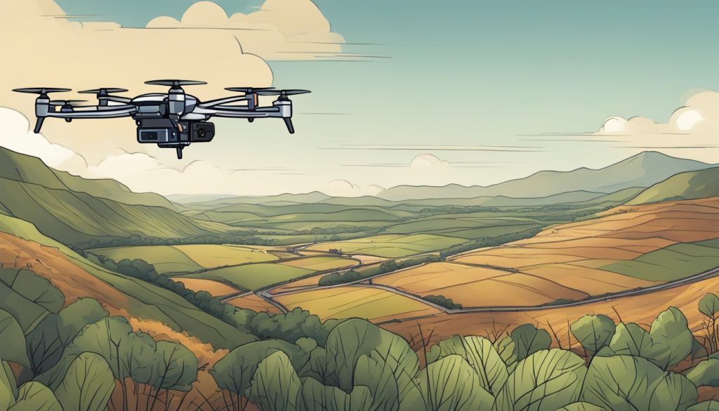
Weather affects how well you can see your drone. Fog, rain, or too much sunlight can make it hard to see. Always check the weather before flying and don’t fly if you can’t see well.
| VLOS Requirement | Specification | Reason |
|---|---|---|
| Maximum Altitude | 400 feet AGL | Maintain visibility and avoid manned aircraft |
| Maximum Distance | 1/4 mile radius | Ensure clear view and control of the drone |
| Weather Conditions | Clear skies | Unobstructed view of the drone |
VLOS operations are not just about rules. They’re about staying aware and keeping everyone safe. By following these guidelines, you help make flying drones safer for everyone.
Best Practices for Drone Mapping Software in Hyperlapse Creation
Drone mapping software is key to making amazing hyperlapse videos. It helps you plan flight paths and get stunning aerial shots. Let’s see how to use mapping software for your hyperlapse projects.
Popular Drone Mapping Software Options
There are many great drone mapping software options for hyperlapse creators:
- DroneDeploy: Offers easy flight planning and mapping features
- Pix4D: Provides advanced photogrammetry capabilities
- DJI GS Pro: Ideal for DJI drone users with intuitive controls
- Litchi: Known for its waypoint mission planning
Integrating Mapping Software with Hyperlapse Techniques
To make great hyperlapses, combine mapping software with your filming methods:
- Plan your flight path using waypoints
- Set consistent intervals for image capture
- Adjust altitude and camera angles for dynamic shots
- Use mapping data to ensure smooth transitions
Enhancing Video Quality with Mapping Data
Mapping data can greatly improve your aerial video quality. Use GPS coordinates for steady movement and smooth transitions. Altitude info helps with smooth up and down shots. By using this data, you’ll make hyperlapse sequences that wow your viewers.
Legal Considerations for Aerial Photography and Videography
Drone operators must understand aerial photography laws and privacy rules. Knowing these laws helps keep your work legal and creative.
It’s important to respect people’s privacy when taking aerial footage. Don’t film in places where people expect privacy, like private yards or public spots for personal use.
Property rights are crucial in aerial photography. Flying low over private land can be seen as trespassing. Always get permission before filming over private property to stay out of trouble.
Restricted Areas and Permissions
Some places have rules against aerial photography. This includes government buildings, military bases, and key infrastructure. Make sure to check local laws and get permits before flying in these areas. Events like concerts or sports games might also need special permission for aerial filming.
| Location Type | Restrictions | Required Actions |
|---|---|---|
| Private Property | Owner’s consent needed | Obtain written permission |
| Government Buildings | Often prohibited | Check local regulations, seek official approval |
| Public Parks | Varied by location | Review park rules, get permits if required |
| Crowded Events | Safety concerns | Contact event organizers for permission |
Keep up with changing drone laws. The rules for aerial photography are always evolving, with new laws to protect privacy and safety. Always check FAA guidelines and local laws to make sure your aerial work is legal and respectful.
Conclusion
Creating legal drone hyperlapse videos means knowing FAA rules well. It’s about getting the right licenses and following flight rules. You also need to use advanced mapping software.
Good aerial videography is more than just taking great shots. It’s about keeping safe, respecting privacy, and flying where you’re allowed. When you start with legal drone hyperlapse, always keep up with new rules.
Following drone laws helps you fly legally and boosts your reputation. By using these rules in your work, you can make amazing and legal aerial hyperlapse videos. As drones become more popular, your careful flying will make you stand out in aerial videography.
