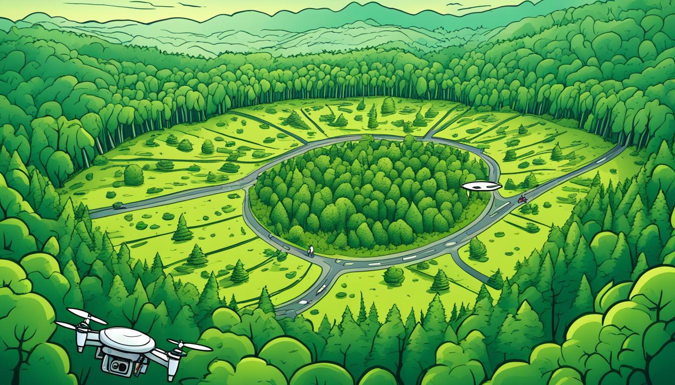
You can make powerful time-lapse drone images for tracking deforestation by mixing drone photography with efforts to protect the environment. This new way of managing forests uses drones to show how forests change over time. It gives important data for saving forests.
Use drones with high-resolution cameras to take detailed pictures of forests at set times. These aerial photos, put together in time-lapse, show deforestation patterns that are hard to see with other methods. This new drone tech helps conservationists and researchers track and act on environmental changes better.
Time-lapse drone images blend satellite data with the sharpness of drone photos from low altitudes. You can spot small changes in plants, find areas of worry, and give key proof for saving forests. This new way of watching the environment is changing how we protect our forests.
Understanding the Importance of Deforestation Monitoring
Monitoring deforestation is key to saving our planet’s forests and ecosystems. Advanced methods like geospatial analysis and remote sensing help us track changes. This supports sustainable development efforts.
Environmental Impact of Deforestation
Deforestation harms our environment a lot. It causes habitat loss, leads to fewer species, and increases carbon emissions. Monitoring land use helps us find and protect these important ecosystems.
Role of Time-Lapse Imagery in Conservation Efforts
Time-lapse images are a big help in saving nature. They show us changes like logging, fires, and pests over time. By looking at these images, we can make plans to protect forests better.
Global Initiatives for Forest Protection
There are global efforts to save our forests. Groups use new tech for sustainable development and monitoring land use. These efforts aim to lower deforestation and promote careful forest management.
| Initiative | Focus Area | Monitoring Method |
|---|---|---|
| Global Forest Watch | Global forest cover | Satellite imagery |
| Amazon Conservation Association | Amazon rainforest | Drone surveys |
| Congo Basin Forest Partnership | Central African forests | Aerial photography |
By using monitoring, geospatial analysis, and remote sensing, we can learn more about forests. This helps us make better conservation plans.
Selecting the Right Drone for Time-Lapse Photography
Choosing the right drone for time-lapse photography is key for monitoring deforestation. The drone you pick affects the quality of your aerial photos and the success of your project. Let’s look at important factors to consider when choosing a UAV for this task.
Flight time is crucial. You need a drone that can fly long enough to cover large areas of forest. Look for drones with more than 30 minutes of battery life. This gives you enough time to capture changes in vegetation over big areas.
Camera quality is also very important. You need a high-resolution camera for detailed photos. Choose drones with at least 12-megapixel cameras that can shoot in 4K. This detail helps you see changes in forest cover clearly over time.
Stability is crucial for clear images. Pick a drone with a reliable gimbal system. This feature reduces camera shake and gives smooth footage, even in bad weather.
GPS is a must for accurate location. It helps your drone stay in the right spot, making sure your time-lapse shots are consistent.
| Feature | Importance | Recommended Specs |
|---|---|---|
| Flight Time | High | 30+ minutes |
| Camera Resolution | High | 12+ MP, 4K video |
| Gimbal System | Medium | 3-axis stabilization |
| GPS | High | Built-in, high-accuracy |
By focusing on these features when choosing a drone, you’ll get great time-lapse images for monitoring deforestation. Remember, investing in good UAV technology leads to better results and reliable performance.
Essential Equipment for Aerial Time-Lapse Imagery
To get amazing aerial time-lapse shots, you need special drone gear and camera tools. High-quality aerial imaging tech is key for pro results. Let’s look at the must-have equipment for monitoring deforestation from above.
High-resolution Cameras for Drone Mounting
Choosing the right camera is key for clear forest shots. Find cameras that shoot in visible light and infrared. This lets you see forest health and changes over time.
Gimbal Stabilization Systems
A gimbal is crucial for keeping your camera steady while flying. It fixes the drone’s movements for smooth footage. Make sure the gimbal fits your drone and camera setup.
Long-lasting Batteries for Extended Flights
For covering big forest areas, you need drones that fly longer. Get high-capacity batteries to keep your drone up in the air. Always have extra batteries ready to keep flying and explore more.
| Equipment | Purpose | Key Features |
|---|---|---|
| Multispectral Camera | Capture detailed forest data | Multiple spectral bands, high resolution |
| 3-Axis Gimbal | Stabilize camera during flight | 360-degree rotation, vibration reduction |
| LiPo Batteries | Power drone for extended flights | High capacity, quick charge time |
With these key pieces of aerial tech, you’re set to take top-notch time-lapse videos for deforestation monitoring. Make sure to pick drone gear that matches your drone for the best results.
Planning Your Drone Flight Path for Optimal Coverage
Planning your drone flight is crucial for monitoring deforestation. You must set a path that covers your area fully. Think about several factors to make your drone mission better.

Focus on three key things when planning your flight: altitude, speed, and image overlap. The altitude you choose affects how much area you capture and the detail you see. Keeping a steady speed keeps your images consistent and overlapping right.
Image overlap is key for making accurate 3D models and spotting changes over time.
Use special software to improve your drone flights. These tools help figure out the best flight settings for your drone and camera. They let you see your planned route and tweak it if needed.
Think about the environment when planning your flights. Try to take pictures with less than 10 percent cloud cover for clear views of the forest. For accurate comparisons over time, schedule flights during the same seasons.
| Flight Planning Aspect | Importance | Considerations |
|---|---|---|
| Altitude | High | Affects area coverage and detail level |
| Speed | Medium | Impacts image quality and overlap |
| Image Overlap | High | Essential for 3D modeling and change detection |
| Weather Conditions | High | Aim for clear skies and consistent seasons |
By planning your drone flight well and thinking about these factors, you’ll get great data for monitoring deforestation. Always follow local rules and get the right permissions before flying.
Setting Up Your Drone for Time-Lapse Capture
Mastering time-lapse drone photography takes careful setup and attention to detail. Your drone’s setup is key to capturing stunning aerial images for monitoring deforestation. Let’s look at the main steps to set up your drone for time-lapse capture.
Configuring Camera Settings for Time-Lapse
Getting your camera settings right is key for clear time-lapse footage. Put your drone’s camera in manual mode for consistent exposure. Choose a low ISO to cut down on noise and a narrow aperture for more depth of field. Adjust the shutter speed based on the light, usually between 1/60 and 1/250 second.
Establishing Proper Intervals Between Shots
The time between shots affects how smooth your final video will be. For monitoring deforestation, longer intervals are good. Set your drone to take a photo every 30 seconds to 2 minutes, depending on how fast things are changing. This gives you full coverage without filling up your storage too quickly.
Ensuring Consistent Altitude and Positioning
Keeping a steady altitude and position is key for similar images over time. Use your drone’s GPS lock to stay put. Set a fixed height, usually between 100 to 400 feet, based on what you’re covering. Think about using automated flight paths to keep your drone in the same spot for different shots.
| Setting | Recommendation | Purpose |
|---|---|---|
| Camera Mode | Manual | Consistent exposure |
| ISO | 100-400 | Reduce noise |
| Aperture | f/5.6 – f/11 | Depth of field |
| Shutter Speed | 1/60 – 1/250 sec | Sharp images |
| Interval | 30 sec – 2 min | Smooth footage |
| Altitude | 100 – 400 feet | Consistent view |
By fine-tuning these settings and keeping your drone steady, you’ll get top-notch aerial shots for deforestation monitoring. Adjust your approach based on the environment and your project’s needs.
Create Powerful Time-Lapse Drone Imagery for Deforestation Monitoring
Time-lapse drone imagery is changing how we monitor deforestation. It lets you show forest changes over time with drone image processing. This method takes many pictures of the same spot at set times and turns them into a smooth time-lapse.
- Plan your flight path to cover the target area
- Set up your drone with appropriate camera settings
- Capture images at consistent intervals
- Process the collected images using specialized software
- Analyze the resulting time-lapse for deforestation patterns
Software for processing drone images is key to making great time-lapses. These tools merge frames together, fix colors and exposure, and make the footage smooth. Pix4D, DroneDeploy, and Adobe After Effects are some top choices.
For analyzing deforestation, use vegetation indices like the Normalized Difference Vegetation Index (NDVI). These indexes show how forest health and coverage change over time. By looking at NDVI values in your time-lapse, you can spot areas of concern and see how reforestation is doing.
| Time-Lapse Creation Step | Key Considerations |
|---|---|
| Image Capture | Consistent altitude, angle, and lighting |
| Image Processing | Color correction, stabilization, and frame alignment |
| Sequence Assembly | Frame rate selection and transition smoothing |
| Analysis | Vegetation index calculation and change detection |
With these skills, you can make strong time-lapse drone videos. These videos show the effects of deforestation and help conservation efforts.
Processing and Analyzing Time-Lapse Drone Footage
After taking aerial photos, you must process and analyze your drone footage. This step is key to understanding changes in forest cover. We’ll look at the tools and methods to make sense of your data.
Software Tools for Image Sequence Compilation
Image processing software is vital for putting your drone footage together. Tools like Adobe After Effects or DaVinci Resolve help merge frames into smooth time-lapse videos. They also have features for color correction and stabilization, making your final product look great and informative.
Enhancing Image Quality
To improve your footage, you should enhance its quality. Techniques like noise reduction, sharpening, and adjusting contrast can reveal details you might have missed. Some software uses AI to boost resolution and clarity, helping you spot subtle changes in the forest.
Detecting Changes in Forest Cover
Change detection algorithms are key to monitoring deforestation. These tools look at your time-lapse videos to find where the forest has changed. Here are some common methods:
- LandTrendr: This algorithm tracks pixel changes over time, showing trends in forest cover.
- Random Forest Classification: This uses machine learning to identify land cover types and detect changes.
- Normalized Difference Vegetation Index (NDVI): This index measures vegetation health and density changes.
By using these methods on your drone photos, you can analyze forest cover changes. This info is crucial for conservation efforts and making policies against deforestation.
Integrating Drone Imagery with Satellite Data
Combining drone imagery with satellite data boosts your deforestation monitoring. This mix gives you a detailed look at forest health and changes over time. It’s a powerful tool for tracking the health of forests.
Drone images show detailed views of specific spots. Satellite data gives a wide view. Together, they let you see small changes and big patterns. This way, you get the most from both sources.

- Collect drone images regularly over your area
- Get satellite data for the same area and time
- Use special software to match and combine the data
- Improve the images with processing techniques
- Look at the data to see changes in forest cover
This method helps you make detailed maps and see how forests change over time. You can track deforestation, watch reforestation, and spot areas at risk.
| Data Source | Resolution | Coverage Area | Update Frequency |
|---|---|---|---|
| Drone Imagery | Very High (cm-level) | Small to Medium | As needed |
| Satellite Data | Medium to High (m-level) | Large | Daily to Monthly |
| Integrated Data | High to Very High | Small to Large | Customizable |
Using drones and satellites together makes a strong system for tracking forest changes. This approach helps you make smart choices and act effectively in protecting forests.
Overcoming Challenges in Aerial Deforestation Monitoring
Aerial deforestation monitoring comes with big challenges. Using drones for this task has its hurdles. Let’s look at how to overcome these issues.
Dealing with Weather and Lighting Variations
Weather can be a big problem for drone flights. Rain, wind, and fog can ruin your images and be dangerous. Plan your flights when the weather is calm. Use apps to find the best times to fly.
For lighting, adjust your camera settings as needed. Think about using neutral density filters to keep your exposure right in changing light.
Navigating Legal Restrictions and Permissions
Drones have different rules in every place. Before starting your project, learn the local laws. You might need special permits for certain areas or heights.
Get in touch with the right people to get the permissions you need. Keep up with any changes in drone laws to follow them.
Ensuring Data Accuracy and Reliability
Getting accurate data is key for good results. Make sure your equipment is always in top shape. Use ground control points to make your images precise.
Check your drone data against satellite images or ground surveys. Use strict data processing steps to remove errors. This way, you’ll get more trustworthy deforestation monitoring results.


