Drones, once primarily associated with military operations and recreational activities, have now found their place in the fields of scientific and archaeological research. As technology continues to advance, these unmanned aerial vehicles (UAVs) offer a wide range of advantages and possibilities for exploration and investigation. In this article, we will explore the various aspects of using drones for scientific and archaeological research, unravel their capabilities, and delve into the ways in which they revolutionize these fields of study.
The Advantages of Using Drones for Scientific and Archeological Research
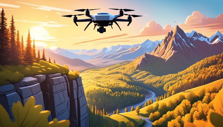
One of the primary advantages of employing drones in scientific and archaeological research is the ability to access hard-to-reach locations. With their maneuverability and aerial perspective, drones can navigate through challenging terrains such as dense forests, rugged mountains, or delicate historical sites, providing researchers with detailed visual information that was previously inaccessible. Moreover, these drones can be equipped with advanced imaging technologies, such as high-resolution cameras and thermal sensors, allowing for the capture of precise and detailed data.
Additionally, drones significantly expedite the data collection and analysis process. Traditional fieldwork often involves laborious on-foot surveys or expensive helicopter flights, resulting in long durations for data collection. By contrast, drones can swiftly cover large areas and collect vast amounts of data in a matter of hours, streamlining research efforts and yielding more efficient results. The collected data can then be analyzed using advanced software and algorithms, further enhancing the accuracy and speed of interpretation.
Furthermore, drones offer a safe alternative to manual exploration. When conducting archaeological excavations or scientific surveys, there are often potential risks involved, such as unstable structures, hazardous materials, or treacherous terrain. By deploying drones for preliminary investigations, researchers can assess potential hazards and plan their approaches accordingly, reducing human exposure to dangerous environments.
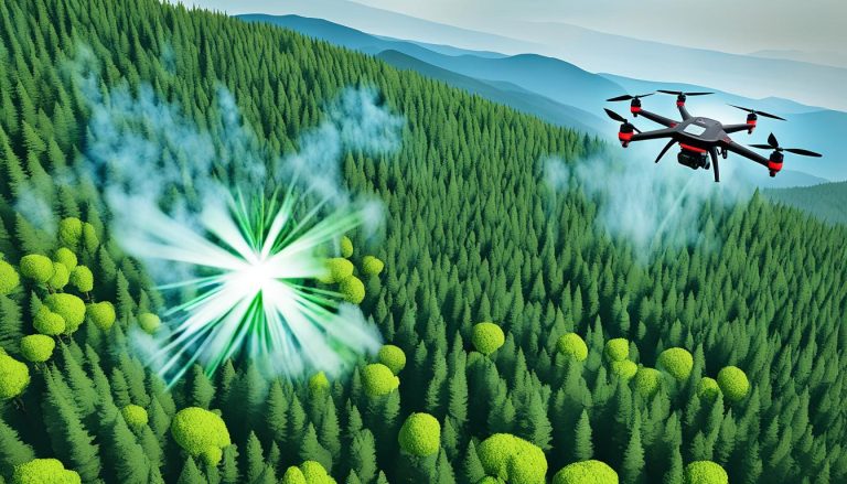
In addition to their accessibility and data collection capabilities, drones also have the potential to revolutionize scientific and archaeological research through their ability to conduct remote sensing. By attaching specialized sensors to drones, researchers can gather valuable information about the environment, such as soil composition, vegetation health, or even underground structures. This remote sensing data can provide insights into various scientific phenomena, such as climate change patterns or historical land use.
Moreover, drones can be used for real-time monitoring and surveillance in scientific and archaeological research. With the ability to fly for extended periods and transmit live video feeds, drones can be deployed to monitor ongoing experiments, observe wildlife behavior, or safeguard archaeological sites from looting or vandalism. This real-time monitoring capability allows researchers to make immediate adjustments to their research plans or take prompt action to protect valuable resources.
Exploring the Potential of Drones in Scientific and Archeological Studies
The potential use of drones in scientific and archaeological studies is vast and wide-ranging. In the realm of scientific research, drones have been employed in various fields, including environmental monitoring, biodiversity studies, and geological surveys. These aerial platforms enable researchers to observe ecosystems from a bird’s-eye view, monitor wildlife populations, track migratory patterns, and study geological formations, contributing to a deeper understanding of our planet’s intricacies.
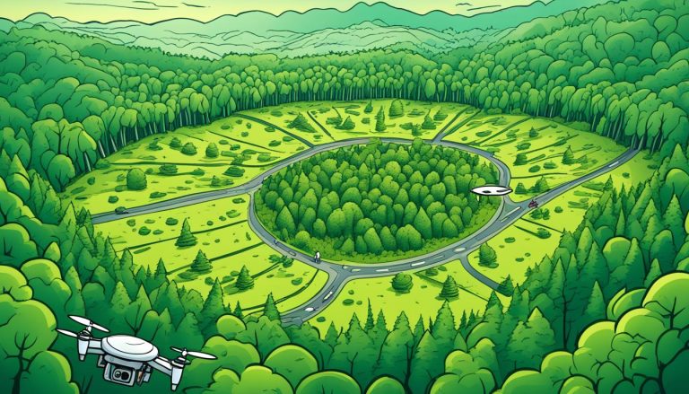
In the field of archaeology, drones have proven to be invaluable tools for site documentation, mapping, and preservation. By capturing high-resolution aerial imagery, drones enable archaeologists to create detailed 3D models of excavation sites and ancient structures. This not only aids in documenting and preserving cultural heritage but also allows for virtual reconstructions and simulations, providing researchers and the public with immersive experiences and greater insights into the past.
Furthermore, drones have revolutionized the field of remote sensing in scientific and archaeological studies. Equipped with advanced sensors and imaging technologies, drones can collect data and images from areas that are otherwise inaccessible or hazardous for researchers. This capability has opened up new possibilities for studying remote and challenging environments, such as dense forests, rugged terrains, and underwater sites.
In addition to their data collection capabilities, drones have also played a crucial role in enhancing the efficiency and safety of scientific and archaeological fieldwork. Traditional methods of data collection often involve manual labor and time-consuming processes. With drones, researchers can now cover larger areas in a shorter amount of time, reducing the need for extensive fieldwork and minimizing risks to personnel. This not only saves time and resources but also allows for more frequent and comprehensive data collection, leading to more accurate and robust scientific findings.
How Drones Revolutionize the Field of Scientific and Archeological Research
The integration of drone technology has revolutionized the field of scientific and archaeological research in numerous ways. Previously, acquiring aerial imagery involved costly and time-consuming methods such as satellite imagery or manned aircraft flights. Drones, on the other hand, offer a flexible and cost-effective solution for remote sensing and data collection, enabling researchers to gather information with greater ease and affordability.
Moreover, the use of drones has enhanced the accuracy and precision of measurements and mapping. Traditional ground-based surveys often encounter limitations, particularly in challenging terrains or when trying to capture large-scale features. Drones equipped with advanced sensors and GPS capabilities can provide highly accurate georeferenced data, enabling precise measurements and mapping of archaeological sites or scientific study areas without the need for physical contact or extensive fieldwork.
In addition to their remote sensing capabilities, drones have also revolutionized the field of scientific and archaeological research by enabling the exploration of inaccessible or hazardous areas. With their small size and maneuverability, drones can navigate through tight spaces, such as caves or dense forests, that would be difficult or dangerous for researchers to access. This allows for the discovery and documentation of previously unknown sites or artifacts, expanding our understanding of the past and advancing scientific knowledge.
Unveiling the Capabilities of Drones in Conducting Scientific and Archeological Investigations
Aside from their imaging capabilities, drones have extended their potential by incorporating additional tools for more specialized research applications. For example, multispectral or hyperspectral sensors can be attached to drones to analyze the reflectance of specific wavelengths of light, providing valuable insights into plant health, mineral composition, or chemical contamination.
Beyond visual data collection, the integration of other scientific instruments, such as LiDAR (Light Detection and Ranging), ground-penetrating radar, or magnetometers, on drone platforms has opened up unprecedented possibilities for non-invasive subsurface surveys and geological investigations. These advancements have facilitated the discovery and analysis of hidden archaeological features or geological phenomena without disturbing the site, further preserving fragile cultural remains or delicate ecosystems.
In addition to their imaging and scientific capabilities, drones have also revolutionized the field of environmental monitoring. By equipping drones with sensors for measuring air quality, temperature, humidity, and other environmental parameters, researchers can gather real-time data in remote or hazardous locations. This data can be used to monitor pollution levels, track the spread of wildfires, or assess the impact of climate change on ecosystems.
A Comprehensive Guide to Utilizing Drones in Scientific or Archeological Research
Utilizing drones in scientific or archaeological research requires careful considerations and adherence to ethical guidelines. Researchers must obtain necessary permits, adhere to airspace regulations, and prioritize the minimization of disturbance to the environment or historical sites. Furthermore, establishing collaboration with experts in drone technology and remote sensing can be instrumental in maximizing the potential benefits and overcoming any technical challenges that may arise.
In planning drone-assisted research projects, it is essential to carefully define research objectives, determine optimal flight plans, and select appropriate sensors and imaging technologies based on the specific needs of the study. Careful post-processing of acquired data is also crucial to ensure accurate analysis and robust scientific or archaeological interpretations.
One important consideration when utilizing drones in scientific or archaeological research is the need for proper data management. Researchers should establish protocols for data storage, organization, and backup to ensure the integrity and accessibility of the collected information. This includes implementing secure storage systems and regularly backing up data to prevent loss or corruption.
Additionally, it is crucial to consider the potential limitations and challenges of using drones in research. Factors such as weather conditions, battery life, and flight restrictions can impact the feasibility and success of drone-assisted projects. Researchers should carefully assess these factors and develop contingency plans to mitigate any potential issues that may arise during data collection.
The Integration of Drone Technology in Scientific and Archeological Surveys
The integration of drone technology in scientific and archaeological surveys represents a paradigm shift in research methodologies. The availability of high-quality imagery, precise measurements, and non-invasive subsurface surveys opens up new horizons for uncovering hidden secrets, unraveling historical mysteries, and advancing scientific knowledge.
As drone technology continues to advance, the potential applications in scientific and archaeological research are expanding. Researchers are continually finding new ways to capitalize on the capabilities of drones, pushing the boundaries of what is possible in terms of data collection, analysis, and interpretation.
Maximizing Efficiency: Drones for Scientific and Archeological Research
In addition to the advantages already mentioned, drones offer enhanced efficiency in fieldwork. By utilizing pre-programmed flight paths or employing autonomous flight modes, researchers can focus on data interpretation rather than spending excessive time piloting the drones. This increased efficiency allows for more comprehensive data collection and analysis, ultimately leading to greater insights and discoveries.
Furthermore, the accessibility of drone technology has made it possible for smaller research teams or organizations with limited resources to engage in scientific or archaeological research that was previously only feasible for well-funded institutions. The affordability and portability of drones have democratized access to aerial survey capabilities, enabling more widespread participation and collaboration.
The Impact of Drones on Advancing Scientific and Archeological Discoveries
The impact of drones in advancing scientific and archaeological discoveries cannot be overstated. These unmanned aerial vehicles have facilitated breakthroughs in understanding our planet’s ecosystems, uncovering hidden historical secrets, and revolutionizing the entire research process.
By combining aerial perspectives, advanced sensors, precise measurements, and efficient data collection methods, drones have accelerated the pace of scientific and archaeological research. They enable researchers to tackle complex questions, explore challenging terrains, and reveal intricate details that were previously out of reach.
Overcoming Challenges: Using Drones for Scientific and Archeological Exploration
While drones offer unprecedented opportunities for scientific and archaeological exploration, there are challenges that need to be addressed. Flight endurance, limited payload capacities, and adverse weather conditions can impose limitations on data collection. Additionally, ethical considerations regarding privacy, cultural sensitivities, and the preservation of delicate environments or historical sites must be carefully navigated.
To overcome these challenges, ongoing research and development in drone technology are essential. Innovations such as extended flight times, increased payload capacities, and enhanced weatherproofing are crucial for expanding the capabilities of drones. Furthermore, close collaboration between research institutions, regulatory bodies, and indigenous communities can help establish ethical guidelines and ensure responsible drone use in sensitive areas.
Uncovering Secrets from Above: The Role of Drones in Scientific and Archeological Investigations
As our technological capabilities continue to evolve, drones are unlocking untapped potential in scientific and archaeological investigations. These aerial platforms have proven their value in providing access to hard-to-reach locations, enhancing data collection, enabling non-invasive subsurface surveys, and revolutionizing research methodologies.
Through their integration into scientific and archaeological studies, drones are rewriting the ways in which we explore our world’s past and present. By embracing this innovative technology, researchers are well-equipped to uncover secrets from above and unravel the mysteries that lie beneath the surface, propelling us into a new era of discovery and understanding.
Harnessing the Power of Drone Technology for Scientific or Archeological Research
The power of drone technology in scientific and archaeological research is undeniable. The ability to capture high-resolution imagery, perform non-invasive subsurface surveys, and collect precise measurements with ease has transformed the way research is conducted.
By harnessing the potential of drones, researchers can advance our knowledge in fields such as environmental science, anthropology, geology, and more. The vast capabilities of these unmanned aerial vehicles continue to unfold, presenting endless possibilities for future exploration and scientific breakthroughs.
Breaking New Ground: How Drones Are Transforming Scientific and Archeological Studies
The field of scientific and archaeological studies is undergoing a remarkable transformation with the integration of drone technology. These versatile aerial platforms have shattered traditional limitations and opened up new avenues for exploration and research.
With the ability to capture high-quality imagery, collect precise data, and conduct non-invasive surveys, drones have become indispensable tools for scientists and archaeologists alike. As we continue to embrace this technology and its ever-evolving capabilities, we can anticipate even greater advancements, further pushing the boundaries of scientific and archaeological studies.
Aerial Perspective: Enhancing Data Collection in Scientific or Archeological Research with Drones
The aerial perspective provided by drones offers a unique advantage in scientific and archaeological research. By viewing landscapes and sites from above, researchers can gain a broader understanding of their surroundings and reveal patterns or anomalies that may not be immediately apparent from ground-level observations.
Furthermore, drones facilitate the collection of large-scale datasets, allowing for spatial analysis and the identification of trends over vast areas. Whether it is monitoring changes in vegetation cover, documenting the expansion of archaeological sites, or mapping geological formations, drones provide an unparalleled tool for enhancing data collection and analysis in scientific or archaeological research.
Unlocking the Past: Exploring the Applications of Drones in Archaeology and Science
Archaeology and science are often concerned with unlocking the mysteries of the past. Through the applications of drone technology, these disciplines are now equipped with innovative tools to aid in their pursuits.
From the exploration of ancient ruins to the study of biodiversity hotspots, drones have become indispensable in uncovering hidden secrets. By providing researchers with an aerial perspective, advanced imaging capabilities, and efficient data collection, drones have the potential to rewrite history and reshape our understanding of the natural world.
In conclusion, the use of drones in scientific and archaeological research has revolutionized these fields in numerous ways. The advantages of using drones, the potential they offer, and the transformative impact they have cannot be understated. As technology continues to advance, researchers will undoubtedly continue to push the boundaries of what is possible with drones, opening up new horizons and embracing these incredible tools in their quest for knowledge and discovery.
